
Time to dust off the sweaters! Here’s when temperatures will be taking a tumble
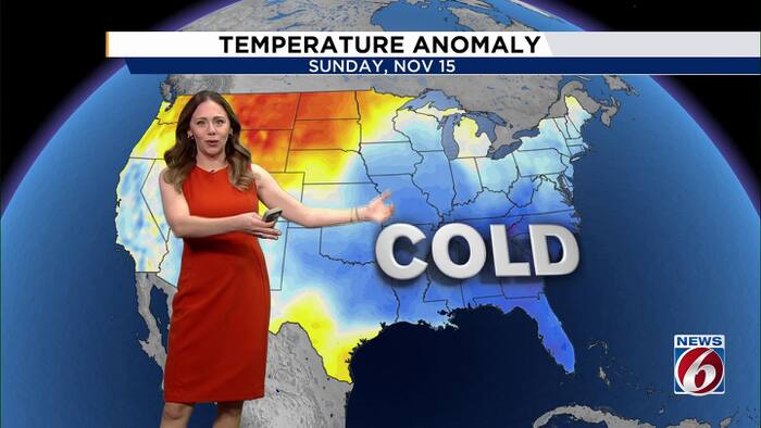
Central Florida is getting its first taste of cooler weather, but the bigger cooldown is still ahead.
A stronger cold front will move through early Friday, bringing drier air and setting the stage for the chilliest morning of the season Saturday.
Thursday
A weaker front has already moved into Central Florida, bringing slightly cooler temperatures and helping push some moisture away. Highs today will reach the upper 70s to low 80s, a few degrees cooler than Wednesday.
A few isolated showers will be possible, mainly during the late morning and afternoon.
Friday
The bigger change arrives early Friday as a stronger cold front pushes through Florida. Highs will be held in the 70s, with breezy northwest winds bringing in cooler and drier air.
Friday night will turn even cooler as skies clear and temperatures begin to fall.
Weekend
Saturday is shaping up to bring the coldest temperatures of the season so far. Morning lows are forecast to fall into the mid-40s to low 50s, with the coolest temperatures expected north of Interstate 4 and milder conditions closer to the coast.
A northwest breeze will make it feel even colder, with wind chills in the low to mid-40s for much of the area. There is also a very small chance temperatures briefly dip into the upper 30s north of I-4.
Afternoon highs will only reach the 60s, making Saturday feel more like fall across Central Florida.
Next week
The chilly air will not stick around for long. Winds are expected to shift back onshore Sunday, allowing temperatures to gradually climb back toward normal.
Rain chances will also return early next week as another weather system approaches the Southeast and Gulf. Forecast models are still showing significant differences in how that system develops and where it tracks.
Some scenarios bring a surge of moisture and the potential for locally heavy rain Monday into midweek, while others keep the heaviest moisture farther south.
It is too early to determine if or where heavy rain will develop, but it is something forecasters will be watching closely, especially with lingering effects from last week’s extreme rainfall.