
Showers linger Saturday evening. Drier for Sunday Funday
Tonight
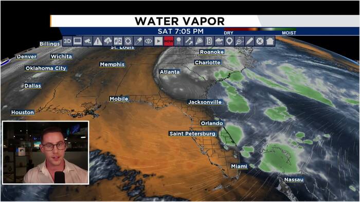
Thanks to a mid-level low over northern Florida keeping moisture and instability in our atmosphere, our Saturday afternoon showers will linger into Saturday evening. Scattered showers, with a thunderstorm or two in the mix, will linger across Central Florida for the first half of our Saturday evening. Coverage will primarily be along and east of the I-4 corridor with the heaviest of the rain to the south of the Orlando Metro. These showers and storms will begin to give way to much drier air around the midnight hour. Into early Sunday morning, drier conditions will prevail as the aforementioned mid-level low moves north and away from Florida, dragging much drier air into our area from the gulf. Lows will generally hover in the mid-upper 60s. We will keep partly cloudy skies overnight.
Sunday
Dry air will continue to filter into Central Florida throughout the day Sunday as the mid-level low continues to move further north. Rain chances will finally shut down for Sunday. We will continue to see a gradual break up in our cloud cover with more sunshine expected for Sunday afternoon. Highs will climb into the low 80s for most of our neighborhoods.
Next Week
Dry conditions persist to start the work week with rain chances next to nothing once again for our Monday. We will enjoy a mix of sun and clouds with highs hovering in the upper 70s. Limited rain chances begin to return Tuesday and into Wednesday as a trough of low pressure swings a weak cold front into Central Florida. A few spotty showers are possible Tuesday and Wednesday ahead of this front which looks to cross on Wednesday. Our Thanksgiving looks beautiful with morning lows in the upper 50s, highs in the 70s, with a mix of sun and clouds!