
Strong cold front clears tonight
Tonight
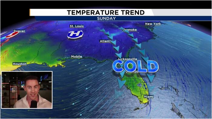
Our strongest cold front so far this fall season arrives tonight! We will stay mostly cloudy for the rest of our Thursday evening and into Friday morning. Very dry air begins to filter into Central Florida by early Friday morning, stomping out rain chances for this evening. Much cooler air will filter in to allow our morning lows Friday to tumble into the upper 50s and low 60s!
Friday
Our northwest winds will persist all day, keeping high temperatures in the upper 60s to about 70ºF! We will start off the day with mostly cloudy skies with clouds gradually thinning out as the day rolls on. With very dry air in play across Central Florida, rain chances are zeroed out Friday and into the weekend.
This Weekend
The coldest air so far this season arrives on Saturday morning as we will wake up to temperatures in the mid-upper 40s! The coldest air Central Florida has seen since mid March over 240 days ago! Strong sunshine will reign all day, however, our persistent NNW winds will keep highs in the mid 60s! Sunday will be just a touch warmer as our winds begin to have a slight onshore component. Morning lows will start off in the upper 40s to low 50s with high temperatures climbing into the upper 60s to low 70s.