
Temperatures climb in Central Florida as next cold front nears
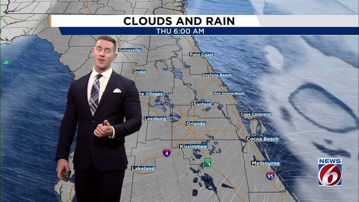
Dry air and a ridge of high pressure in the mid-upper levels of the atmosphere will keep rain chances at bay to round out the week. However, this also means temperatures will soar.
Thursday
Central Florida will continue to dry out after the deluge of showers and storms that began the week. Rain chances this afternoon will only reach 10-20% this afternoon as a very weak sea breeze develops. Isolated showers will develop near the I-95 corridor around lunchtime. These spotty showers will push to the I-4 corridor by mid-afternoon. Showers will favor areas between I-4 and I-75 for the evening commute. Highs will climb into the mid-80s with “feels like” temperatures near 90°F.
Friday
Temperatures will climb even higher Friday afternoon as we see a westerly wind shift ahead of our cold front. Highs will hit the upper 80s. A few neighborhoods could hit the low 90s. Isolated showers are possible late afternoon ahead of our front; however, most of our area will remain dry.
This weekend
Our front finally swings through early Saturday morning, giving Central Florida a northerly wind shift. This will allow for a slight cooldown to near-average temperature values. We will see dry conditions with partly cloudy skies. High temperatures will only hit the low 80s, while morning lows will drop into the low-mid 60s!